 (new window)
 (new window)
 (new window)
 (new window)
 (new window)
 (new window)
 (new window)
 (new window)
 (new window)
 (new window)
Korean Peninsula Terrain [National Geopark]
Korean name한반도지형(강원고생대 국가지질공원)
Official translation by the Korea Tourism Organization Show original
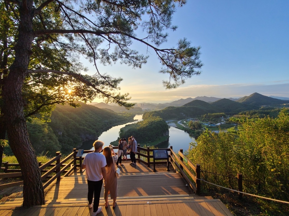
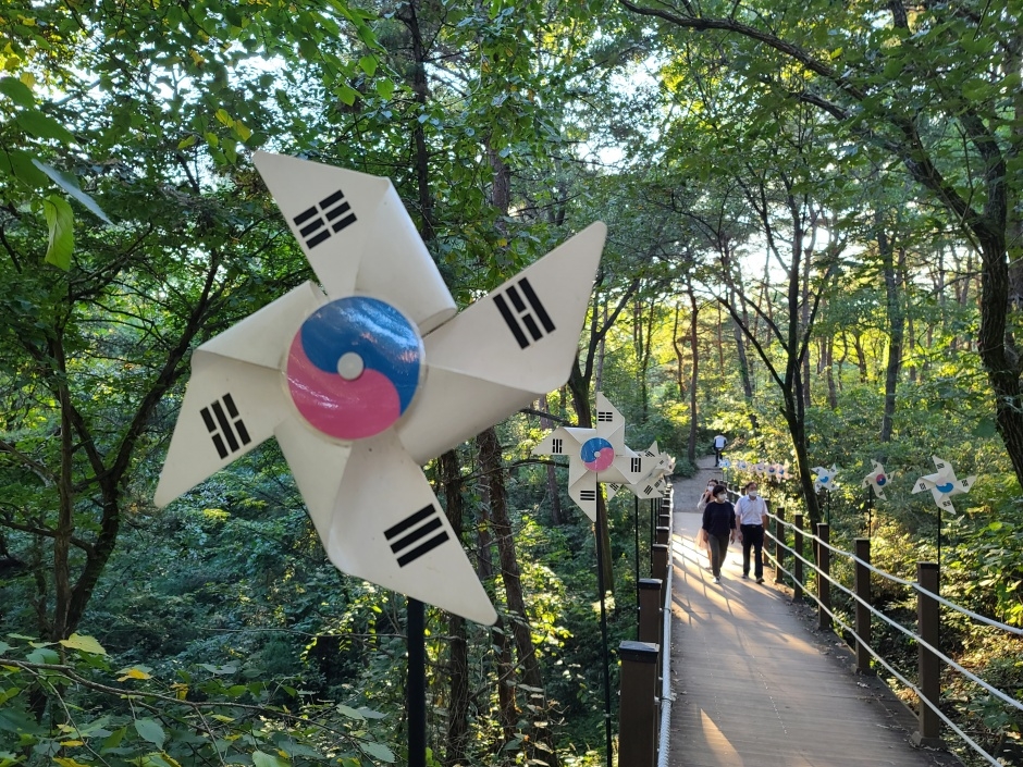
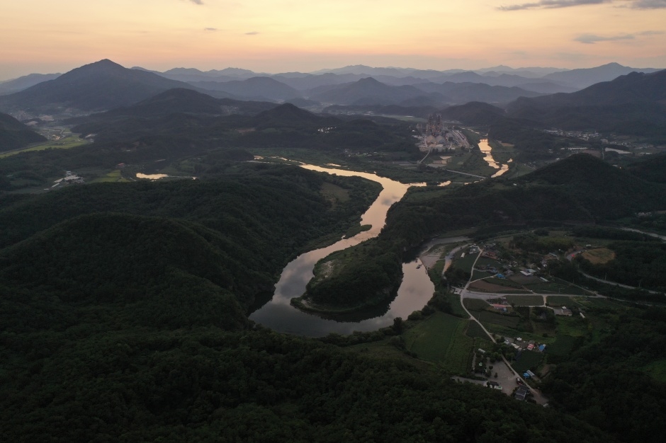
Korean Peninsula Terrain was formed by soil transported from upstream to the curvature of the confluence of two rivers. It is often referred to as Mini Korean Peninsula because it resembles the shape of the Korean Peninsula. It is said to have this appearance due to the erosion of the incised stream flowing around the terrain. It takes a 15-minute walk along the pine forest trail for about 800 meters from the parking lot to reach there. The well-maintained trail with many wildflowers and plants creates a welcoming atmosphere. Upon arriving at the observation point, visitors will be amazed by the beautiful curved river and the topography taking the same shape as the Korean Peninsula. Designated as the Gangwon Paleozoic National Geopar, this area has excellent geographical value because it shows the characteristics of the incised mender river as well.
Details
- Night Hiking Restriction Notice
- 야간 제한
- Hiking trail
- 트레킹코스(약 1.5km)
- Open section
- 주차장~한반도지형 전망대
- Tour Course Guide
- 주차장 → 전망대 → 뗏목체험 → 한반도지형트레킹
- Parking fee
- Free
- Available facilities
- 한반도 지형 전망대 / 쉼터 등
- Admission Fee
- Free
- Restroom
- Yes
Accessible travel information
Machine-translated from Korean.
Mobility
- Parking
- Parking for people with disabilities available_Barrier-free facilities
- Restroom
- Accessible restroom available_Accessible facilities
Traveling with pets
Machine-translated from Korean.
Pets allowed in some areas
- Pets allowed
- All dog breeds allowed
- Requirements for pets
- Muzzle required, leash required
- Other information
- Bring waste bags and be sure to clean up after your pet
Visitor reviews 0
Videos of this place
Yeongwol-gun travel resources
All guides →- e-book
- GuidesYour New Korea, Healing Gangwon Travel
- e-book
- GuidesHealing Gangwon - Themed Travel to Gangwon Province